• News
  • Investors

Public Safety

The effectiveness of drones as force multipliers in public safety operations cannot be overstated. In recent years, drones have emerged as powerful tools in this space – by saving time, money, and lives.

Our team has the necessary experience to seamlessly integrate our solutions with your existing infrastructure and workflows to efficiently enhance your current safety systems.

With more than 22 years of experience manufacturing drones for the military and government sectors in North America, our team has designed solutions to help public agencies protect life, mitigate risk, and reduce liability.

Monitoring & Reconnaissance

Scene Digitisation

Police & Border Patrol

Search & Rescue Operations

Emergency Response

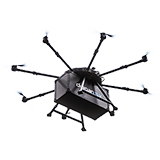
Drone Transport & Delivery

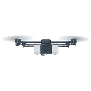
Our aerial systems are built with custom payloads and sensors to digitize scenes, monitor public events, locate objects, and respond to natural disasters more efficiently and safely than traditional on-the-ground methods. With a combination of our hardware and post-event processing software solutions, data can be used to audit and improve responses to reduce exposure and aid in optimizing future emergency response situations.

As an original manufacturer, we have the in-house expertise to consistently provide you unparalleled support to keep your critical systems ready to deploy at a moment’s notice providing tools for improved situational awareness, quicker response, and better scene documentation.

Challenges Facing the Public Safety Sector

First responders are often required to put themselves in harm’s way during the course of their jobs in order to protect citizens and uphold the law. Draganfly drones provide an aerial vantage point for law enforcement to scout their area of operations, breach structures, conduct indoor searches, and even negotiate with suspects while keeping personnel out of harm.

They can be used to follow, monitor and aid in the apprehension of suspect individuals before they can cause further harm to the community. In addition, drones can be used to take high-resolution, overhead photos of an accident or crime scene, and even breach windows to gain further situational awareness.

Custom Drone Solutions for the Public Safety Sector

Firefighters

The more information that firefighters have before they run into a burning building, the safer they will be. Draganfly drone technology brings rapid imaging tools that provide critical information to best attack the fire while maintaining firefighter safety.

Draganfly drone solutions give teams a real-time, 360-degree view of a burning building. By using thermal imaging to monitor fire progress and spot victims through the thick smoke, responders can efficiently target attacks, locate hotspots, as well as zoom in to check on their teams and the status of resources without risking the lives of firefighters.
Search and Rescue

Search and Rescue operations can be just as dangerous as other law enforcement or fire fighting activities. Response teams often have to navigate through vast, challenging and dangerous terrain to save lives. Visibility is often compromised in these dangerous areas, forcing team members to go in blind. Draganfly Surveillance solutions provides semi-automated tools that quickly scout these regions and locate those in danger without risking members of the team.

High-powered thermal and zoom cameras allow teams to identify heat signatures through thick brush and snow, then take a closer look for confirmation. This increased visibility helps them locate individuals before too much time has passed.

Border Patrol

Draganfly surveillance drones designed for border patrol offer increased security and protection to agents in typically unmanned areas. Draganfly drones offer supplemental airborne reconnaissance, surveillance and tracking capability to enhance situational awareness. Agents can stay far out of earshot and stealthily observe whatever is on the ground, whether that’s drug smugglers or illegal aliens, using drones to make informed decisions before they intervene in dangerous situations.

Reconnaissance

Draganfly Drone solutions provide remote visuals of a dangerous area to give officers critical information of a situation.

When performing reconnaissance, officers often need to put themselves in harm’s way in order to scout an area and provide vital intel about a situation. By using a thermal sensor, officers can gain visuals through glass and other obstructions, preventing officers from risking their lives when scouting an area.

Disaster Response

Quickly assessing and mapping out the situation on the ground is crucial for effective disaster response. First responders use Draganfly drones to survey areas that may have been rendered inaccessible or otherwise isolated due to destroyed infrastructure, such as roads and bridges. They can then communicate with rescue teams and conduct search and rescue operations.

Medical Delivery

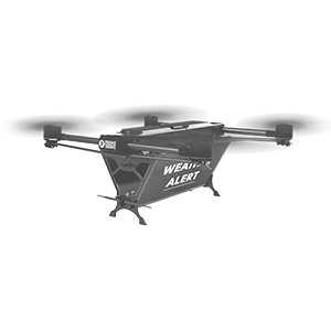
During active emergency, medical and disaster response situations, Draganfly’s drones can make a difference. Unmanned aerial vehicles (UAVs) help crews reduce response times, improve situational awareness and increase overall efficiency.

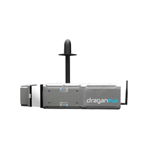
The delivery drones are equipped with our innovative temperature-managed payload box, which is able to maintain cold chain requirements for temperature-sensitive medical supplies.

Emergency Delivery

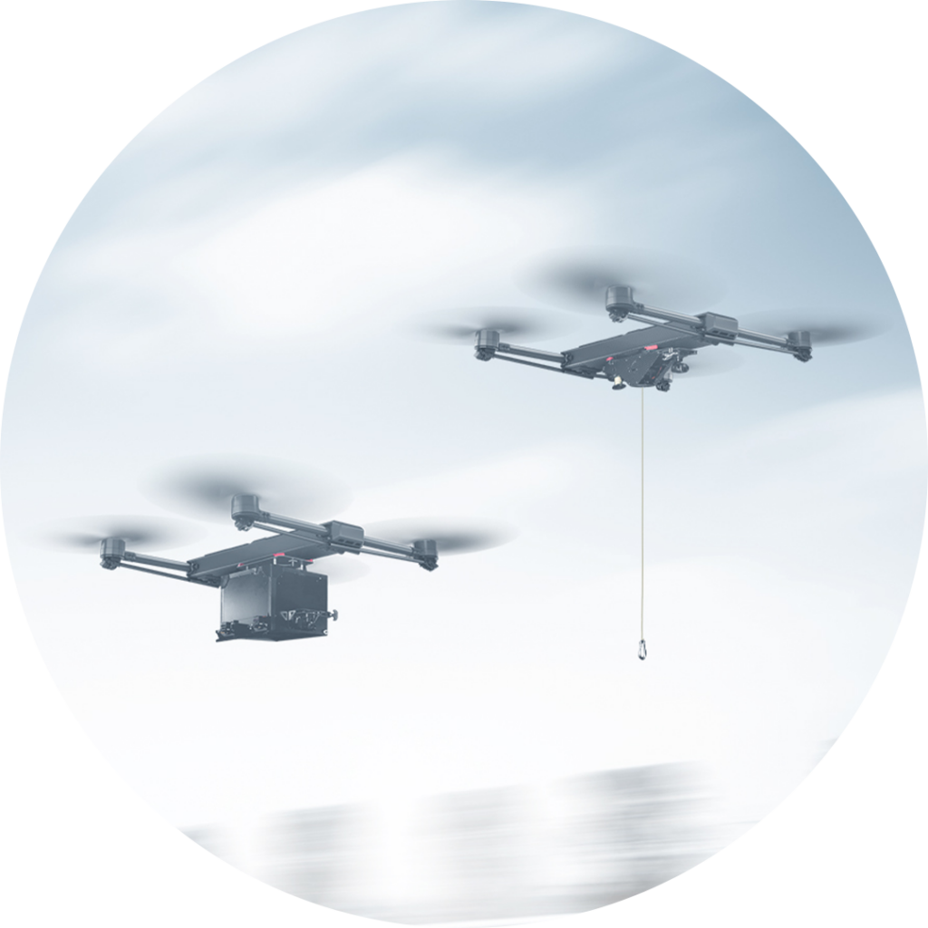
Our delivery drones are able to provide first responders with visual oversight of a scene and ensure the timely delivery of temperature-sensitive medical supplies including blood, vaccines and test samples to dangerous or hard-to-reach areas.

Extreme Terrain Delivery

Draganfly’s Extreme Terrain delivery allows for easy, seamless transport of essential equipment into hard-to-reach areas.

Crime Scene Documentation

Crime scene documentation for public safety agencies can be a time-consuming and inefficient job. Draganfly drones help generate fully comprehensive datasets in a fraction of the time and cost compared to traditional methods.

Accident Documentation & Reconstruction

Drones are incredibly useful in aiding accident forensics. Our drones can map areas immediately after an incident to preserve the scene for further analysis. This can provide the Regional Police with vital clues that can aid the apprehension of criminals. By using 3D maps or aerial LIDAR point clouds, forensic units can gain a detailed view of a site and provide an unbiased, visual report to the courts. This unbiased report can strengthen their case and help them preserve the law.

Did you know?

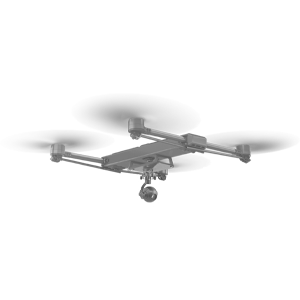
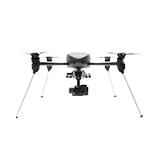
In 2013, Draganflyer X4-ES drone was credited as
the first drone to save a human life.
during a search and rescue operation.

Learn more about our Custom Solutions

Contact our team to discuss our ready-to-ship, turnkey commercial drones and custom solutions.

I would like to learn more about:

Tim Dunnigan

ADVISOR

Tim Dunnigan is a thought leader and serial entrepreneur who served 22-years in the U.S. Army as a Soldier, NCO, and Commissioned Officer where he filled a myriad of dynamic leadership roles and global assignments, including three combat tours of duty. His 20-years of entrepreneurial success is guided by transformational ideas and ventures in technology, innovation, and education. Tim is the CEO & Founder at CaptureTec, LLC – a Center for Verification and Evaluation Certified, Service-Disabled Veteran-Owned Small Business (CVE SDVOSB) focused on leadership consultation, systems integration, and solutions that provide data capture for infrastructure assets using aerial, static, and mobile scanning technologies. As the COO and Co-founder at Talon Aerolytics, Tim architected the nation’s largest aerial drone services provider from inception to all 50 states serving clients including AT&T, Nokia, T-Mobile, Ericsson, and Verizon. As the CEO & Founder at Strategic Integration (CVE SDVOSB), Tim developed the CTED (Create, Test, Educate, Deploy) turnkey business model for defense consulting and technology integration, while serving America’s interests abroad through multiple U.S. DoD classified hardware and software contracts in the U.S. and overseas. Additionally, Tim is the Founder of Innovalearn, where he created education content for clients including Aflac, Synovus, Subway, and Cox Communications; the Founder of iK9 (CVE SDVOSB), where he co-authored the Veterans Administration (VA) training protocols for service dogs for Veterans with PTSD; and the Co-founder of GameLink Lounge, where he architected innovative entertainment concepts for Service Members and their families on Military installations across the U.S.

Tim is also the Founder of the I’m a Hero Too Foundation [501(c)(3)] and a children’s book author. He holds a Bachelor’s Degree in Human Development, a Master’s Degree in Organizational Leadership and Management, and has completed 2-years of PhD studies in Adult Education at Auburn University. Tim’s been awarded 6 patents and currently has two patents pending on an aerial drone delivery system he developed to fill capability gaps he witnessed during his multiple trips to Ukraine.

The Future of Drone Surveillance

SAVING TIME, MONEY, AND LIVES.

Short–range drone surveillance has experienced significant attention thanks to its low cost and efficiency. Long-range drone surveillance beyond visual line of sight (BVLOS) is now on the horizon and is set to amplify cost savings regarding resources and time spent on data collection.
This website uses cookies to improve user experience. By using our website, you consent to all cookies with accordance with our Cookie Policy.

The Future of Drone Delivery

A WORLD WITHIN REACH

Demand for drone hardware and services has never been greater. From emergency medical deliveries to agricultural management; community, government, and corporate drone usage is expected to see enormous growth up to and beyond 2028.